Need to know
Distance: 10km
Duration: Approximately 3-4 hours
Accessibility: Not pram or wheelchair friendly. Steep ascent and descent along muddy paths in the woodland. Rocky and uneven underfoot in places.
Facilities: Public toilets can be found by the entrance to Chatsworth House, and in Bakewell car park, opposite the Spar. For food options, visit the Carriage House Café or the Cavendish restaurant in the Stables. In Bakewell, you’re spoilt for choice; there are pubs and eateries on every corner.

The route
- At Paine’s Bridge, cross the road, and follow the footpath up and over the hill, then and down into Edensor.
- Just in front of the village of Edensor, you will need to cross the main road again. Walk through the swinging gate on the right of the cattle grid. Head straight ahead through the village, continuing uphill along the road.
- At the top of the road, it veers right into a private driveway. Ignore this, and take the dirt track straight ahead, continuing to climb steadily uphill.
- The top of the dirt track meets a road (a quiet lane). Take a left and walk 800 metres (still mostly going uphill) until you see the public bridleway sign on your left (just after the crest of the hill).
- Follow this downhill through the woodland, continuing straight ahead where the footpaths cross 200 metres along. Take care as it can be steep and muddy down here. This leads out to cross the golf course again; keep going straight towards Bakewell.
- This footpath leads out onto Station Road. Turn left and walk down to the junction, passing over the Monsal Trail with Bakewell Station (disused) on your right. Take a left again at the road junction, continuing along Station Road. This leads you all the way down to Bakewell Bridge.
- Once over the bridge, take a left along the river back to the Love Locks Bridge (Or continue straight ahead to treat yourselves to well-deserved refreshment in the town).
- Walk across Bakewell Love Locks Bridge and follow straight ahead to walk across another footbridge. Head toward the Agricultural Centre and walk around to the right of the building. Then take a left to walk along the road to meet Coombs Road.
- At Coombs Road, take a left and after 30 metres there is a gate on your right. This isn’t an obvious footpath, but it is a public right of way. Follow this tarmac path uphill and round to the right through a wooden gate. This leads to the Monsal Trail.
- Climb over the wooden stile and walk over the Monsal Trail. Continue straight ahead, through the golf course.
- Follow the footpath through the trees as it snakes up the hill. You will soon cross a small stream. Don’t follow the green Haddon Estate sign, instead continue uphill on the rocky path almost straight ahead. This footpath then crosses another stream; again cross over and continue straight uphill.
- Finally at the top (well, almost), you meet a small wooden gate. Walk through and follow the direction the yellow sign is pointing, slightly to the right. It’s just a little further uphill to the right-hand corner of the trees. Once you’ve rounded the corner of the trees, walk directly ahead to the wooden gate, keeping the treeline immediately on your left (don’t veer to the gate to the right). A large pond is to the left of the gate you’re aiming for.
- Walk through the gate and alongside the pond to the next wooden gate. Then follow the footpath to the right that leads between the large opening in the woodland. This leads to another wooden gate; walk through and continue onwards.
- A barn and house comes into view. Just before the barn, two footpaths cross. Take the left turning that leads through the drystone wall into the woodland. Follow along the walled lane. Chatsworth House comes into view on the right through the trees. You don’t need to walk up the steep stone stile at the end, the gate works fine. There are a few benches on the left to sit, enjoy the view, and have a snack.
- Continue downhill through Chatsworth Park towards the trees. Then after 140 metres, just before the trees, take a right (straight ahead cuts the walk short and takes you directly to Edensor). Follow this round and down to the main road that runs through the Chatsworth Estate (B6012).
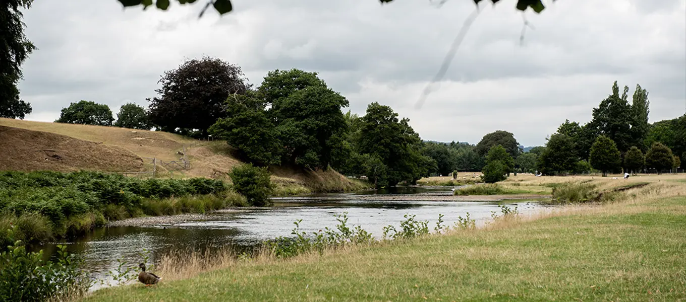
- Cross the road and walk straight downhill towards Chatsworth House and the River Derwent. When you reach the river, take a left and follow it for 500 metres to Paine’s Bridge, keeping the river on your right. Just after you reach the bridge, take the footpath on the right, back to the car park.

Stay with us
With so much to see, do, and explore in the Peak District, it's a shame to only come for the day, so why not stay a little longer? Our country cottages, shepherd's huts, hotels, and inns are the perfect base for exploring all that Chatsworth, Derbyshire, and the Peak District have to offer. Find out more.


